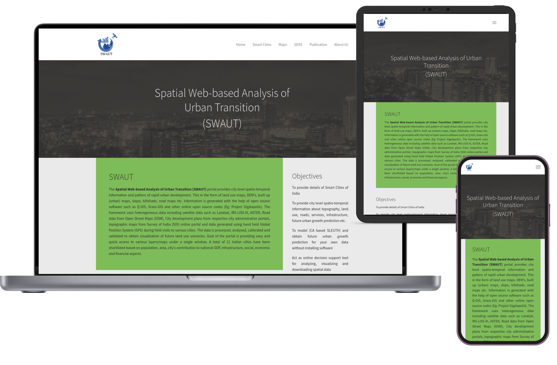
GIS Web app for SWAUT
- Spatial decision support system (SDSS)
- 3D Maps, Open Street Maps (OSM), & Leaflet
- GIS Model generation tool
- QGIS, Grass-GIS, SLEUTH, Nodejs App
Open Street Maps (OSM), & Leaflet JavaScript library OpenStreetMap provides data about roads, trails, cafés, railway stations, etc. We have built multiple projects using OpenStreetMap. Leaflet is the leading open-source JavaScript library for interactive maps. Leaflet along with other plugins was used to add advanced GIS features.
SLEUTH was used to generate various prediction models of Indian cities for a given year. It has Urban Growth Model (UGM) and Land cover deltatron model (LCD) generation functionalities. The term 'SLEUTH' is derived from initiials of Slope, Land cover, Exclusion, Urbanization, Transportation, and Hillshade.